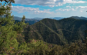
Cypriot mountain landscape showing abandoned terraces and the results of erosion over time.
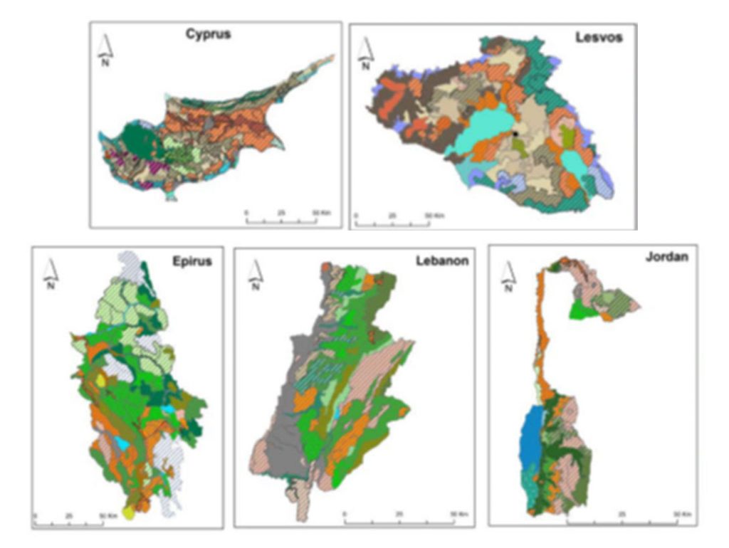
Laona has been instrumental in motivating the Cyprus Government to ratify (in 2006) the Florence Convention on the European Landscape, 2000. In co-operation, originally with Reading University, UK, and now with Open University Cyprus, the Foundation has pioneered landscape mapping as a tool for better territorial/land use planning.
In 2008 a provisional landscape map at a scale of 1:250.000 was produced, being the first map of the whole island to have been produced by actual on-site evaluation since the Turkish invasion and division of Cyprus in 1974. This was possible because Laona’s status as an NGO enables it to enter northern Cyprus and co-operate with Turkish Cypriot NGOs based on the other side of the island’s divide.
Within the ambit of its concern for landscape and communities the Foundation conducted a bi-communal project in 2008-09 on the rehabilitation of abandoned mines and quarries. Specialists from both the Greek and Turkish Cypriot communities participated in a Think Tank which produced a series of recommendations that are still valid and quoted today.


